HOCKING HILLS, OHIO
These are some pics from our recent trip to the Hocking Hills, in southeastern Ohio. Quite a beautiful place that resulted from glaciation 10-15 thousand years ago and the luck of land being made up of impermeable and semi-permeable mixtures of sandstones and impervious shale. When the glacier retreated and melt waters carved their way through, spectacular gulleys, canyons and rock shelters were left. In the gorges left behind, small micro climates with attending flora resulted, reminiscent of more northerly Canadian latitudes. Canadian yews and bigleaf magnolias are found here, well outside their ranges, thanks to the glaciers of the last ice age.
This is a view on the trail down into the gorge toward Old Man's Cave.
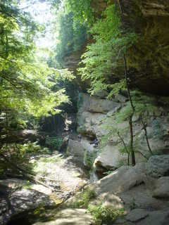
Another view from the trail leading into Old Man's Cave.
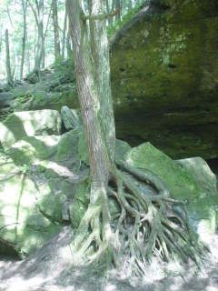
A tree with exposed root system on the rock.
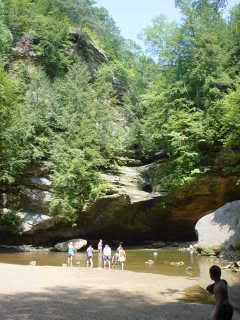
The Lower Falls down below Old Man's Cave. Not much of a falls, given the lack of rainfall.
On the trail toward Cedar Falls in the bottom of the gorge.
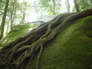
Roots.
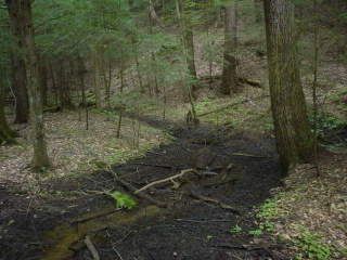
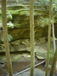
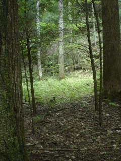
Some marshy/swampy area typical of the gorge but not so for southeast Ohio.
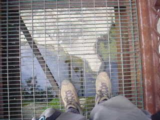
Looking down from the suspension bridge on the connector trail from Cedar Falls to the Upper Rim Trail.
The view from inside Old Man's Cave. Though earliest indications are that the Adena culture visited these shelters around 7000 years ago, Old Man's Cave was the abode of an early settler from Tennessee and his dog looking for game after the Civil War. He found the area and it was said he and his dog lived in the shelter for the remainder of his days. It was said he perished by an accidental blast from his gun and the local native Wyandot buried him somewhere near the entrance.
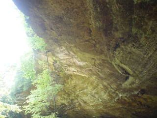
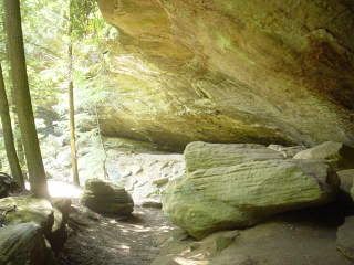
From underneath the overhang in Old Man's Cave. These aren't really "caves" in the classical sense that you could explore passageways for great distances, but more or less rock shelters eroded out by ancient river systems.

Another view of the gorge floor between Old Man's Cave and Cedar Falls.
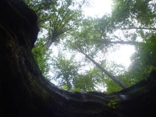
View from the drip line of one of the numerous rock shelters.


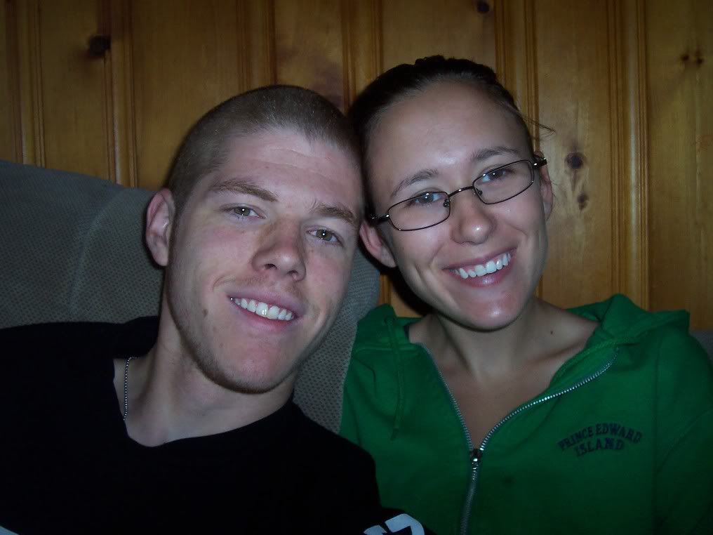


 I thought it was just your lower face that was similar, but since you so kindly put his picture there, I did the hand over the faces and well....your UPPER face looks like his too!
  You and your GF are a cute couple.